Image From Satellite
Icon: ![]()
Ribbon: Roads > Model Viewer > Image From Satellite
Introduction
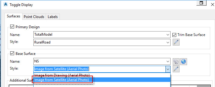
The Image From Satellite command allows users to download aerial imagery either to be draped onto an existing surface or to be inserted into the drawing. This command can be accessed via the Roads tab on the ribbon (for insertion into the drawing) or via the Toggle Display form (to drape over an existing Civil Site Design surface).
Civil Site Design attains the aerial imagery from Bing Maps. The quality of the aerial imagery will depend on the location the user specifies.
Note: In the BrisCAD version of the software, the aerial imagery will not be automatically inserted into model space. The user will be required to insert the image manually. To do this, simply run the Attach Raster Image command from the Insert tab. The software creates a JPG file (and associated world file) in the AdvRoads-10 folder. Find this file and specify for insertion. The coordinates of the file will be attained from the world file, so there is not need to specify an insertion point.
Details
Upon selecting the command the following form is displayed:
|
|
|
| Projection List (Recommended) | Prior to importing aerial imagery, it is required that the user specify the coordinate system. Users have the option of either selecting one of the known built-in coordinate systems (via the Projection List) or specifiy a projection file. Projection files can be attained via the Spatial Reference website and should be used only if the coordinate system cannot be found in the projection list. If using the Projection List option, users will be required to first specify the category of the system and after doing so will populate a list of known coordinates systems. The Projection List is the recommended method for specifying the coordinate system, because it also contains details on how to transform coordinates systems from one to anotrher. |
| Category | Select the coordinate system category. For example, specify 'NationalGridsAustralia' to view known coordinates systems for Australia. |
| System | After selecting a category, all available coordinates systems will be listed in this drop-down box. |
|
PRJ FIle |
Prior to importing aerial imagery, it is required that the user specify the coordinate system. Users have the option of either selecting one of the known built-in coordinate systems (via the Projection List) or specifiy a projection file. Projection files can be attained via the Spatial Reference website. On selecting the button with the 3 dots, the software will open the Model Viewer Projections Folder. If your coordinate system is not listed, then select the link to access the Spatial Reference website to search and download the .prj file for your required coordinate system. |
| Surface Colour (When importing via the Toggle Display form only) | Specify the colour of the Civil Site Design Surface. This colour will be used when Model Viewer is display with a Shaded Visual Style. |
| Confirm Satellite Data | The Image from Satellite window is displayed allowing users to define the aerial imagery to insert. |
| Cancel | Exit the command without downloading aerial imagery. |

Upon selecting the Confirm Satellite Data button, the following window is displayed. This window allows the user to specify the aerial imagery to be inserted. If the Image From Satellite command is run in order to drape aerial imagery to a surface, then the specified surface will be highlighted in green. The user should zoom out with the mouse to ensure that the aerial imagery shown extends beyond the highlighted green area.
|
|
|
| Map Providor | Specify the map providor you would like to reference. Options include Bing Maps, Google Maps, and NearMaps - NearMaps can only be used once credentials are specified in the Viewer Settings. |
| Search Field (Roads tab command only) | If running the Image From Satellite command from the Roads tab on the ribbon, this search field will appear. In the search field (defaulting to the text 'Melbourne'), type in the address and select the ENTER key. If found, the software will pan to the location. By holding down the right-mouse button, users can pan around the view. |
| Accept | The software will download the aerial imagery specified. |
| Cancel | Exit the command without downloading the aerial imagery. |
